Showing most recent first, in descending order
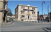
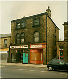
3 images in cluster Black Bull in SE2019
Image clustering - assigning images labels - is an automated process, based on the image title/description. It's not totally accurate, and can sometimes assign images to odd clusters
in SE2019, near Mirfield, by Humphrey Bolton
When: 26 March, 2012
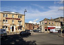
When: 20 October, 2005
When: 13 April, 1997
Explore these images in the Browser or Explore matching images including in surrounding squares (if any!)
All images  © Humphrey Bolton and licensed for reuse under this Creative Commons Licence
Other Automatic clusters in SE2019
- Huddersfield Road
- Station Road
- River Calder
- Calder Road
- Ledgard Bridge
- Calder Hebble Navigation
- Lower Hopton
- Seen
- Railway
- Newgate
- Granny Lane
- Building
- Canal
- Railway Bridge
- Hopton New Road
- Mirfield Cut
- Knowl Road
- Weir
- Chadwick Lane
- Waste Lane
- Passing
- West
- Bank
- Converted Mill
- Road and Newgate
- Flood Lock
- Entrance
- Unit
- Gill Bridge
- Doctor Lane
- Pusher Compounded Beam Engine
- St Paul's Road
- St Paul's Church
- Gregory Springs
- Train
- 20C Houses
- Ings Grove Park
- Nettleton Road
- Yorkshire Volunteer
- Town Centre
- View Westward
- Blake Hall Drive
- Apartment Block
- Island Platform
- King Street
- Lowlands Road
- Old Mill
- Post Box can be Seen
- Black Bull
- Looking towards Huddersfield
- Play Area
- East Thorpe
- Public Footpath
- Gregory Springs Road
- Trinity Methodist Church
- Carpet Shop
- Looking East
- Land between Granny Lane and the Calder
- Sign Reads