Showing most recent first, in descending order

28 images in cluster Blackboy Hill in ST5774

Image clustering - assigning images labels - is an automated process, based on the image title/description. It's not totally accurate, and can sometimes assign images to odd clusters

in ST5774, near Cotham/ST5874


ST5774 : Redland skyline by Derek Harper
Redland skyline
When: 2 November, 2021
By: Derek Harper
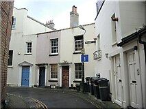
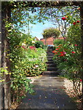
ST5774 : Woodbury Lane by Neil Owen
Woodbury Lane
When: 2 August, 2021
By: Neil Owen
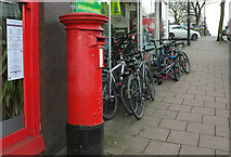
ST5774 : Postbox, Blackboy Hill by Derek Harper
Postbox, Blackboy Hill
When: 6 January, 2020
By: Derek Harper
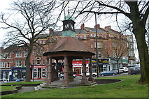
ST5774 : Urijah Thomas Memorial Fountain by David Martin
Urijah Thomas Memorial Fountain
When: 1 March, 2019
By: David Martin
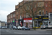
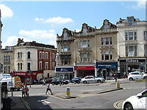
ST5774 : Shops near the top of Blackboy Hill by David Martin
Shops near the top of Blackboy Hill
When: 1 March, 2019
By: David Martin
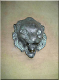
ST5774 : Watery lion by Neil Owen
Watery lion
When: 7 September, 2017
By: Neil Owen
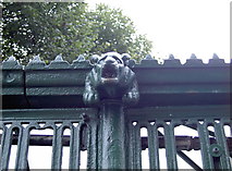
ST5774 : Iron gargoyle on the gentlemen's convenience by Neil Owen
Iron gargoyle on the gentlemen's convenience
When: 7 September, 2017
By: Neil Owen
ST5774 : The Reverend's fountain by Neil Owen
The Reverend's fountain
When: 7 September, 2017
By: Neil Owen
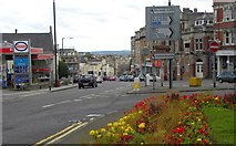
ST5774 : Blackboy Hill by Gordon Hatton
Blackboy Hill
When: 24 May, 2017
By: Gordon Hatton
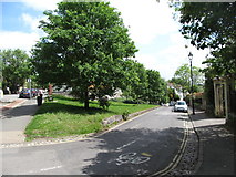
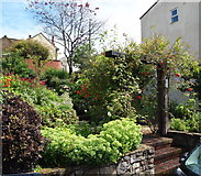
ST5774 : Green triangle by Elm Lane by Gordon Hatton
Green triangle by Elm Lane
When: 24 May, 2017
By: Gordon Hatton
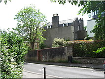
ST5774 : Elm Lane & Malvern House by Gordon Hatton
Elm Lane & Malvern House
When: 24 May, 2017
By: Gordon Hatton
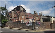
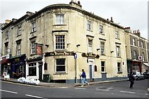
ST5774 : Listed building at top of Blackboy Hill by Derek Harper
Listed building at top of Blackboy Hill
When: 25 June, 2015
By: Derek Harper
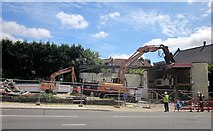
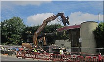
ST5774 : Demolition of filling station on Blackboy Hill by Derek Harper
Demolition of filling station on Blackboy Hill
When: 25 June, 2015
By: Derek Harper
ST5774 : Demolition of filling station on Blackboy Hill by Derek Harper
Demolition of filling station on Blackboy Hill
When: 25 June, 2015
By: Derek Harper
ST5774 : Blackboy Hill Area - BS8 by David Hallam-Jones
Blackboy Hill Area - BS8
When: 31 July, 2012
By: David Hallam-Jones
ST5774 : Blackboy Hill - BS8 by David Hallam-Jones
Blackboy Hill - BS8
When: 31 July, 2012
By: David Hallam-Jones
ST5774 : Blackboy Hill Area - BS8 by David Hallam-Jones
Blackboy Hill Area - BS8
When: 31 July, 2012
By: David Hallam-Jones
ST5774 : Blackboy Hill - BS8 by David Hallam-Jones
Blackboy Hill - BS8
When: 31 July, 2012
By: David Hallam-Jones
ST5774 : Blackboy Hill Area - BS8 by David Hallam-Jones
Blackboy Hill Area - BS8
When: 31 July, 2012
By: David Hallam-Jones
ST5774 : Blackboy Hill Area - BS8 by David Hallam-Jones
Blackboy Hill Area - BS8
When: 31 July, 2012
By: David Hallam-Jones
ST5774 : Durdham Down (Stoke Rd) - BS9 by David Hallam-Jones
Durdham Down (Stoke Rd) - BS9
When: 31 July, 2012
By: David Hallam-Jones
ST5774 : Clifton Down (Stoke Road) - BS9 by David Hallam-Jones
Clifton Down (Stoke Road) - BS9
When: 31 July, 2012
By: David Hallam-Jones
ST5774 : Clifton Down (Stoke Rd Area) - BS9 by David Hallam-Jones
Clifton Down (Stoke Rd Area) - BS9
When: 31 July, 2012
By: David Hallam-Jones
ST5774 : Grade II listed Natwest Blackboy Hill branch, Bristol  by Jaggery
Grade II listed Natwest Blackboy Hill branch, Bristol
When: 7 May, 2012
By: Jaggery
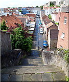
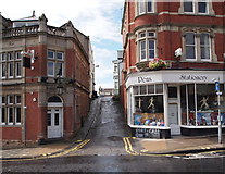
ST5774 : Lane off Blackboys Hill to the Port of Call, Bristol by Roger May
Lane off Blackboys Hill to the Port of Call, Bristol
When: 17 November, 2011
By: Roger May
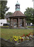
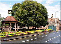
ST5774 : Clock Tower, Blackboy Hill by Colin Bews
Clock Tower, Blackboy Hill
When: 4 September, 2011
By: Colin Bews
ST5774 : Blackboy Hill by Colin Bews
Blackboy Hill
When: 4 September, 2011
By: Colin Bews
ST5774 : Blackboy Hill by Rosalind Mitchell
Blackboy Hill
When: 2 December, 2002
By: Rosalind Mitchell

Explore these images in the Browser or Explore matching images including in surrounding squares (if any!)


Other Automatic clusters in ST5774

  1. Whiteladies Road
  2. Road Junction
  3. Road and the Downs
  4. Clifton Down Station
  5. Ordnance Survey Cut Mark
  6. Redland Green
  7. Road Left
  8. Road Right
  9. Junction with Redland
  10. Cotham Hill
  11. Area
  12. Blackboy Hill
  13. Centre
  14. Lower Redland Road
  15. Upper Belgrave Road
  16. Trees
  17. Clyde
  18. Grade I Listed
  19. Pembroke Road
  20. House on the Left
  21. Woolcott Park
  22. Clifton Down Railway Station
  23. Drinking Fountain
  24. Whiteladies Gate
  25. Looking Right
  26. Terraced Houses
  27. Water Tower
  28. Park Left
  29. Left is a Terrace
  30. Tyndale Baptist Church
  31. University of Bristol
  32. Railway Line
  33. Woolcot Street
  34. Elm Lane
  35. Seen from its Junction
  36. Church Shown
  37. West of Clifton
  38. Buildings Shown
  39. Easter Garden
  40. North side of Clifton
  41. Right is Part
  42. Reverse View
  43. Bridge Parapet
  44. Located on the Corner
  45. Pub Sign
  46. Wider View
  47. St Saviour's Church
  48. Anglesea Place
  49. Primary School
  50. Cotham Gardens
  51. Station Name
  52. Attractive House
  53. Whiteladies Rd
  54. St John the Evangelist
  55. Chapel Green Lane
  56. Churchyard Wall
  57. Southern Edge of Redland Green
  58. Elizabeth II Postbox
  59. Private Chapel
  60. Old Bank
  61. Detached House
  62. Crossroads with Hampton
  63. Row of Shops
  64. Buried OS Cut Mark
  65. Name Board
  66. High St
  67. Situated Near
  68. Police Station
  69. Big Top
  70. Corner of Hurle
  71. Double Postbox
  72. Lower Redland Rd
You are not logged in login | register