Showing most recent first, in descending order
2 images in cluster Boundary in SU4689
Image clustering - assigning images labels - is an automated process, based on the image title/description. It's not totally accurate, and can sometimes assign images to odd clusters
Explore these images in the Browser or Explore matching images including in surrounding squares (if any!)
Other Automatic clusters in SU4689
- Featherbed Lane
- Building
- Wantage Road
- House
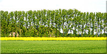
- Field
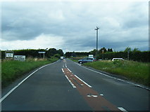
- A417 at East Hendred
- Barn
- White Road
- Couple of Old
- Corner
- Boundary
- Orange Way after Wiltshire
- Sheds