Showing most recent first, in descending order
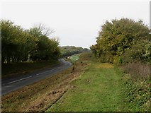
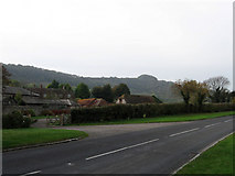
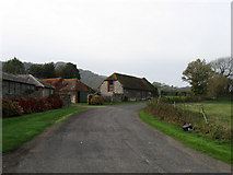
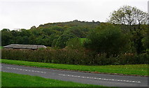
12 images in cluster Courthouse Farm in TQ3812
Image clustering - assigning images labels - is an automated process, based on the image title/description. It's not totally accurate, and can sometimes assign images to odd clusters
in TQ3812, near Offham/TQ4012
Explore these images in the Browser or Explore matching images including in surrounding squares (if any!)
Other Automatic clusters in TQ3812
- Mount Harry
- Mount Harry Beacon
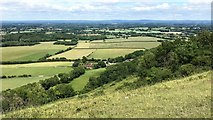
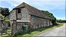
- Courthouse Farm
- B2116
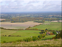
- South Downs
- Bridleway
- Blackcap
- Near
- Plaque
- Allington Lane
- Looking South
- Left
- Coombe Plantation
- Field According to the 1844 Tithe Map
- East
- North
- Ditchling Road
- South Downs Way