Showing most recent first, in descending order

7 images in cluster Cranborne in SU0613

Image clustering - assigning images labels - is an automated process, based on the image title/description. It's not totally accurate, and can sometimes assign images to odd clusters

in SU0613, near Boveridge


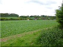
SU0613 : Cranborne, cropland by Mike Faherty
Cranborne, cropland
When: 23 May, 2013
By: Mike Faherty
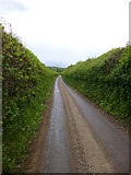
SU0613 : Cranborne, country lane by Mike Faherty
Cranborne, country lane
When: 23 May, 2013
By: Mike Faherty
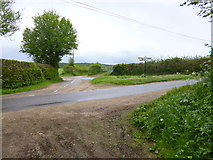
SU0613 : Cranborne, crossroads by Mike Faherty
Cranborne, crossroads
When: 23 May, 2013
By: Mike Faherty
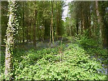
SU0613 : Cranborne, bluebells by Mike Faherty
Cranborne, bluebells
When: 23 May, 2013
By: Mike Faherty
SU0613 : Cranborne, footpath by Mike Faherty
Cranborne, footpath
When: 23 May, 2013
By: Mike Faherty
SU0613 : Cranborne, disused pit by Mike Faherty
Cranborne, disused pit
When: 23 May, 2013
By: Mike Faherty
SU0613 : Cranborne: postbox № BH21 135, Holwell by Chris Downer
Cranborne: postbox № BH21 135, Holwell
When: 31 August, 2008
By: Chris Downer

Explore these images in the Browser or Explore matching images including in surrounding squares (if any!)


Other Automatic clusters in SU0613

  1. Holwell Farm
  2. Footpath
  3. Bellows Cross
  4. River Crane Cranborne
  5. Road
  6. Boveridge
  7. Disused
  8. Hill
  9. River Crane in Spate
  10. Hedge
  11. Harvest
  12. B3078
  13. Field of Brassicas
  14. Farm Track
  15. Cranborne Dorset
  16. Brewery
  17. Bluebells
  18. Watercress Beds
You are not logged in login | register