Showing most recent first, in descending order
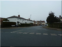
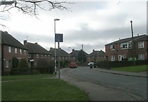
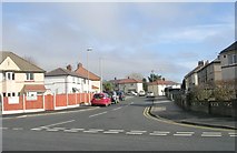
3 images in cluster Crescent in SE1946
Image clustering - assigning images labels - is an automated process, based on the image title/description. It's not totally accurate, and can sometimes assign images to odd clusters
in SE1946, near Otley/SE2045
Explore these images in the Browser or Explore matching images including in surrounding squares (if any!)
Other Automatic clusters in SE1946
- Weston Lane
- Weston Ridge
- Wharfedale Hospital
- Weston Drive
- Wharfedale Hospital Union Workhouse
- Wilkinson Way
- Billams Hill becomes Newall Carr Road
- St Davids Road
- Footpath
- Wall
- Yew Tree
- St Martins Field
- Oval
- Meagill Rise
- Looking
- Green Lane
- Ashfield Primary School
- West side of Newall Carr Road
- Close
- Croft Avenue
- Electricity Substation
- Crescent
- Dales Trail
- Parish of Otley Leeds District
- Car Park
- Belmont
- Cottage Stores
- Viewed from the Gills
- Suburb
- Sign for the Yew Tree
- Ridding Gate
- Postbox
- Old Milestone Plaque
- Old Entrance to the Local Hospital
- Oatland