Showing most recent first, in descending order
3 images in cluster Crop in SD4213
Image clustering - assigning images labels - is an automated process, based on the image title/description. It's not totally accurate, and can sometimes assign images to odd clusters
Explore these images in the Browser or Explore matching images including in surrounding squares (if any!)
Other Automatic clusters in SD4213
- New Lane Station
- Reedbed at Martin
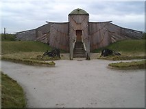
- View from the Harrier Hide
- Martin Mere Wetland Centre
- Pat Wisniewski
- Martin Mere WWT Centre
- Southern end of the Reserve
- Level Crossing
- Woodend Marsh
- Marsh Moss Lane
- Burscough
- Sewage Works
- Janet Kear Hide
- West
- Lancashire
- Platform
- Track
- Wigan Line
- Viewing Screen
- Public Footpath
- Drainage Channel was Dug
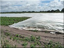
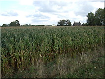
- Crop
- United Utilities Hide
- Path South of Martin
- Viewing Screen Nearest Wood end Farm
- Small Pond
- Perimeter Path
- Overlooking the many Areas of Water
- Lots of Small Birds
- Approach