Showing most recent first, in descending order
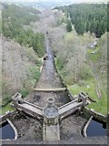
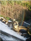
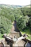
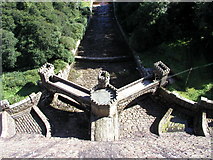
4 images in cluster Dam Overflow in SE0676
Image clustering - assigning images labels - is an automated process, based on the image title/description. It's not totally accurate, and can sometimes assign images to odd clusters
in SE0676, near Middlesmoor/SE0974
Explore these images in the Browser or Explore matching images including in surrounding squares (if any!)
Other Automatic clusters in SE0676
- Dam Wall
- Wall on Scar House Reservoir
- Nidderdale Way
- Middlesmoor to Scar House
- Road
- Scarhouse Reservoir
- Scar House Reservoir Seen
- Looking West
- Information Boards
- Dam Overflow
- Filled
- Building of Scar House
- Spillway
- Completed in 1936
- Picture Taken
- Scar House Pasture
- Set
- Snow Covered
- Southern Shore
- Scar House Gill
- Ruined
- River Nidd
- Nidderdale Way Crosses
- Moor Lane
- East side of the Path
- Built to Serve Bradford
- Barn