Showing most recent first, in descending order
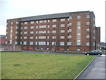
4 images in cluster Disused Building in SE2931
Image clustering - assigning images labels - is an automated process, based on the image title/description. It's not totally accurate, and can sometimes assign images to odd clusters
in SE2931, near Beeston Hill
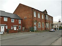
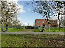
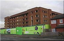
When: 4 December, 2007
By: Betty Longbottom
Explore these images in the Browser or Explore matching images including in surrounding squares (if any!)
Other Automatic clusters in SE2931
- Beeston Road
- Holbeck Cemetery
- Lady Pit Lane
- Malvern
- Beeston Hill
- Elland Road
- Lodge Lane
- Cut Bench Mark
- Rowland
- Crosby Road
- Malvern Road
- Tempest Road
- PANORAMA
- City
- Corner
- Cross Flatts Park
- Hunslet Hall Road
- Hardy Street
- Stratford Street
- Ordnance Survey Cut Mark Benchmark Described
- Buckton
- Sefton
- Moorville
- M621 Junction 2A
- Memorial
- Open
- Closed
- Path
- Sunbeam Place
- Primary School
- Brown Lane East
- Temple Crescent
- Mayor of Leeds 1874-75
- Closer View can be Seen
- Barton
- Church of the Holy Spirit
- Clovelly Terrace
- Stratford Terrace
- Community Centre
- Open Space
- Buckton Mount
- Bowling Greens
- United Bar
- Disused Building
- Disraeli Terrace
- Nearest House
- Recreation Mount
- Woodlea Place
- Guinea Graves
- West Hunslet Liberal Club
- Brickfield Park
- Bismarck Drive
- St Luke's Green
- Cad Beeston
- Central Leeds
- Linden Mount
- Cranbrook Avenue
- Normanton Grove
- Nave Looking
- Cycle Lane
- Fish-and-chip Shop
- Parkfield Row