Showing most recent first, in descending order
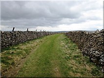
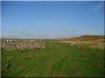
7 images in cluster Downs Pasture in SE0067
Image clustering - assigning images labels - is an automated process, based on the image title/description. It's not totally accurate, and can sometimes assign images to odd clusters

Explore these images in the Browser or Explore matching images including in surrounding squares (if any!)
Other Automatic clusters in SE0067
- Walk from Grassington to Kelber and Return
- Green Lane
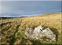
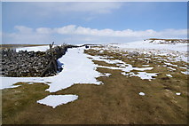
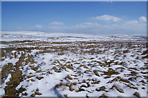
- Downs Pasture
- Gill House
- Near Green Hill
- Fence
- Upland
- Small
- Pivot Benchmark
- Ordnance Survey
- Nook
- Map
- Looking North
- Limekiln
- Gap Stile
- Benchmark is Cut into a Gatepost Positioned