Showing most recent first, in descending order
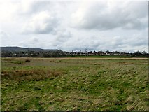
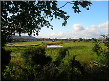
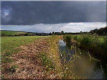
3 images in cluster Drainage Ditch in TQ1911
Image clustering - assigning images labels - is an automated process, based on the image title/description. It's not totally accurate, and can sometimes assign images to odd clusters
in TQ1911, near Upper Beeding
Explore these images in the Browser or Explore matching images including in surrounding squares (if any!)
Other Automatic clusters in TQ1911
- St Peter's Church
- Farm
- Sele Priory
- Priory Church at Upper Beeding
- Bank of the River
- Public Footpath
- Stained Glass Windows
- Churchyard
- Church Lane
- Pound Lane
- Wall
- Centuries a Benedictine Priory
- North West
- Flood
- South Wall
- Gate
- Field According to the King's Barn Tithing
- Tributary of the River Adur
- Drainage Ditch
- Beeding Brooks Pumping Station
- Waterway Drains
- Hall
- Modern Housing Estate
- Known as the Sele Priory Church
- Internal
- Altar
- Floor Memorial
- Early Years of the Fourteenth Century
- Church Farm Walk
- Banner
- Windows of Priory Church at Upper Beeding