Showing most recent first, in descending order
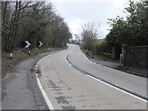
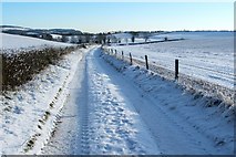
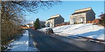
4 images in cluster Dumbarton in NS3776
Image clustering - assigning images labels - is an automated process, based on the image title/description. It's not totally accurate, and can sometimes assign images to odd clusters
in NS3776, near Ardoch/NS3676
Explore these images in the Browser or Explore matching images including in surrounding squares (if any!)
Other Automatic clusters in NS3776
- Perrays Wood
- Path to Dalmoak
- Track is Shown
- Hawthornhill Road
- Core Path Leads
- Gate Shown
- Cumbrae Crescent South
- Knowetop Farm
- Field Boundary
- Lennox Gardens
- Dumbarton
- Core Path from Hawthornhill to Dalmoak
- Built-up Area
- Bomb Crater in Perrays Wood
- Hazel Avenue
- Stile
- Right-hand Edge
- Dalreoch United Free Church of Scotland
- Perrays Drive
- Drain Cover
- Miles
- Farm Track and the Fields Adjacent
- Field Near Castlehill
- Heading WNW


