Showing most recent first, in descending order
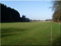
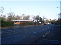
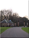
5 images in cluster Dumbreck Road in NS5662
Image clustering - assigning images labels - is an automated process, based on the image title/description. It's not totally accurate, and can sometimes assign images to odd clusters
in NS5662, near Rutherglen
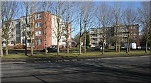
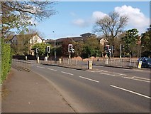
When: 28 April, 2012
By: Alec MacKinnon
Explore these images in the Browser or Explore matching images including in surrounding squares (if any!)
Other Automatic clusters in NS5662
- Pollok Park
- Maxwell Park Railway Station
- Springkell Avenue
- Pollokshields Burgh Hall
- Fotheringay Road
- Pollok Country Park
- Maxwell Park Pond
- Railway Bridge
- Footbridge
- Terregles Avenue
- St Andrews Drive
- Cathcart Circle Line
- Station Footbridge
- Dumbreck Road
- Shawlands
- Titwood Road
- Building
- Glencairn Drive
- Gate
- Shawmoss Road Railway Bridge
- Burrell Collection
- Glasgow Central
- Level View
- Sports
- Looking Roughly
- School Playing Fields
- Pillar Box
- Tower at the Hall which was Designed