Showing most recent first, in descending order
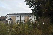
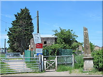
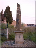
3 images in cluster East in TL3605
Image clustering - assigning images labels - is an automated process, based on the image title/description. It's not totally accurate, and can sometimes assign images to odd clusters
in TL3605, near Wormley/TL3605
Explore these images in the Browser or Explore matching images including in surrounding squares (if any!)
Other Automatic clusters in TL3605
- High Road
- Church Lane
- Level Crossing
- Turnford
- Wharf Road
- Slipe Lane
- Wormley High Road
- Footbridge
- New River West of High Road
- North
- Houses
- Turnford Marsh
- Photo Taken
- Path
- Huntingdon Close
- South
- Bridge
- New River by Church Lane Allotment
- Coal Tax
- East
- New River West of the Oval
- Field
- Lammasmead
- Train on the Cheshunt Line
- Laurence Drive
- Railway Tracks
- WWII Pillbox


