Showing most recent first, in descending order
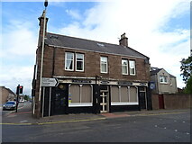
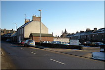
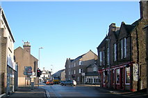
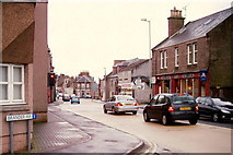
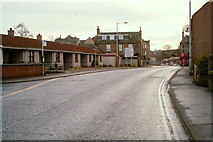
5 images in cluster East High Street in NO4650
Image clustering - assigning images labels - is an automated process, based on the image title/description. It's not totally accurate, and can sometimes assign images to odd clusters
When: 18 February, 2010
By: Alan Morrison
When: 16 February, 2009
By: Alan Morrison
When: 15 February, 2009
By: Alan Morrison
Explore these images in the Browser or Explore matching images including in surrounding squares (if any!)
Other Automatic clusters in NO4650
- Junction with South Street
- Montrose Road
- Junction with Arbroath Road
- Lowson Memorial Church
- North Street
- Near its Junction
- East High Street
- Forfar at its Junction with William Street
- Wyllie Street
- Kings Road
- Newmonthill Cemetery
- Forfar fire Station
- Footpath Leading
- Plaque
- Thistle Bar
- Town Centre
- Restenneth Drive
- Arbroath Road A932
- Jute Mill
- Gravel
- Forfar Infirmary
- Co-op
- B9128
- Yeaman Street