Showing most recent first, in descending order
5 images in cluster East of Dorking in TQ1850
Image clustering - assigning images labels - is an automated process, based on the image title/description. It's not totally accurate, and can sometimes assign images to odd clusters
Explore these images in the Browser or Explore matching images including in surrounding squares (if any!)
Other Automatic clusters in TQ1850
- Boxhill Road
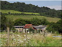
- Lower Box Hill Farm
- North Downs
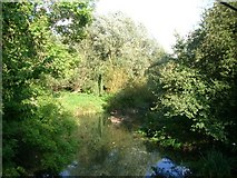
- Footbridge across the River Mole
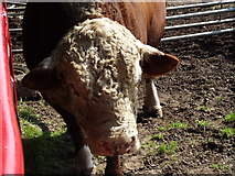
- Belted Galloway Cattle
- Deepdene Bridge
- Boxhill Farm
- Castle Mill
- Boxhurst
- Field
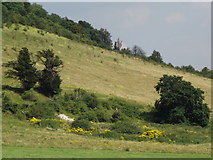
- Lower Slopes of Box Hill
- Near
- Footpath
- Old Reigate Road
- Background is Box Hill
- East of Dorking
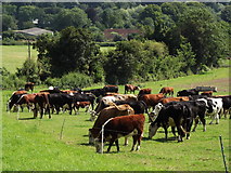
- Grazing Land
- Pylon
- Located just North of the A25
- Carries the Line from Redhill to Guildford
- Alongside
- Viewed Looking
- Coach Rd
- Oak Wood
- Note the Heron at the Foot
- Floodplain
- Mole Valley
- Garden Centre
- Weir and Millrace