Showing most recent first, in descending order
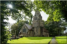
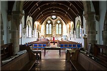
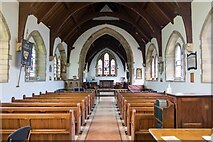
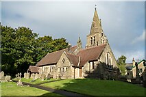
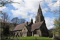
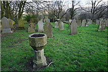
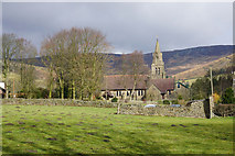
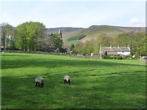
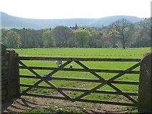
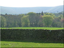
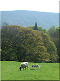
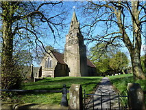
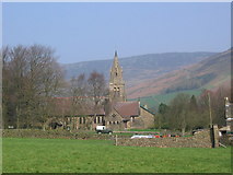
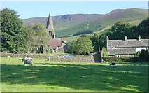
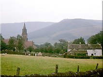
19 images in cluster Edale Church in SK1285
Image clustering - assigning images labels - is an automated process, based on the image title/description. It's not totally accurate, and can sometimes assign images to odd clusters
Explore these images in the Browser or Explore matching images including in surrounding squares (if any!)
Other Automatic clusters in SK1285
- Edale Station
- Edale Church
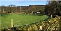
- Near Edale
- Train in Edale
- Start of the Pennine Way
- Ollerbrook Booth
- Old Nags Head
- River
- Sheep
- Car Park
- Mam Tor
- Church of the Holy and Undivided Trinity
- East of Edale
- Sheffield to Manchester
- Moorland Centre Edale
- Penny Pot Cafe
- Houses
- Hope Valley Line
- Hollins Cross
- Grindslow Knoll
- Grinds Brook
- Marys Lane
- Dry Stone Walling
- Bridge Carrying
- Postbox S33
- Sheep Grazing
- Beer Garden
- Church Spire
- Edale Signal Box
- Gate
- Hardenclough Farm
- Kinder Plateau
- Public Footpath
- History of this Sign
- Post Office
- Play
- Sheffield-Manchester Railway
- Cattle Grid
- Lands Barn