Showing most recent first, in descending order
8 images in cluster Edenbridge Road in TQ4736
Image clustering - assigning images labels - is an automated process, based on the image title/description. It's not totally accurate, and can sometimes assign images to odd clusters
in TQ4736, near Gallypot Street
Explore these images in the Browser or Explore matching images including in surrounding squares (if any!)
Other Automatic clusters in TQ4736
- River Medway
- East Grinstead
- Footpath
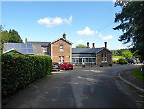
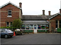
- Hartfield Station
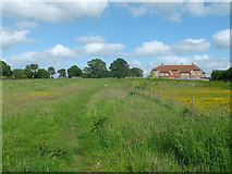
- Chartners Farm
- Bridleway
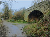
- Bridge over Forest Way
- Near Hartfield
- High Weald Landscape Trail
- Old Railway
- Field According to Hartfield's 1842 Tithe Map
- East Grinstead to Tunbridge Wells Railway
- Cycle Route
- Chartners Wood
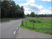
- B2026
- Ironically Dr Beeching who Lived Near
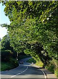
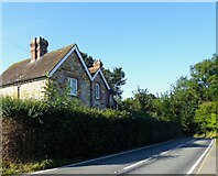
- Edenbridge Road
- Butcherfield Lane
- Mile Cycle Walking Trail from East Grinstead
- Footbridge over the River Medway
- South
- Stile on the High Weald Landscape Trail
- High Weald Landscape Trail Near
- Oilseed Rape
- Stone Cottage
- Station House
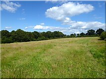
- Meadow in the Medway Valley
- Upstream
- Unfortunate Feature is the Unchecked Tree Growth
- B2026 Bridge
- Stand of Conifers
- Barn
- Signpost
- Hedge
- Pond
- Part of the High Weald
- Water