Showing most recent first, in descending order
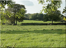
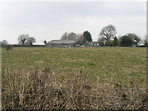
2 images in cluster Field in ST6350
Image clustering - assigning images labels - is an automated process, based on the image title/description. It's not totally accurate, and can sometimes assign images to odd clusters
in ST6350, near Downside/ST6450
Explore these images in the Browser or Explore matching images including in surrounding squares (if any!)
Other Automatic clusters in ST6350
- Coalpit Lane
- Tuns Farm
- Entrance
- Farm Buildings
- Field
- Parish Boundary Marker
- Seen from Coalpit Lane
- West of Coalpit Lane