Showing most recent first, in descending order
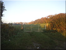
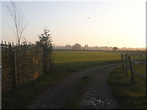
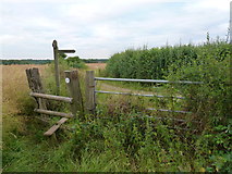
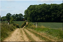
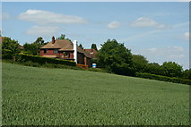
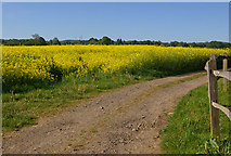
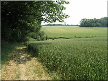
7 images in cluster Field in TQ2554
Image clustering - assigning images labels - is an automated process, based on the image title/description. It's not totally accurate, and can sometimes assign images to odd clusters
Explore these images in the Browser or Explore matching images including in surrounding squares (if any!)
Other Automatic clusters in TQ2554
- Field
- Mugswell Village
- Looking along Green Lane
- Near
- Monkswell
- Footpath
- Rectory Road
- Lower Kingswood
- Public Bridleway
- Path
- Looking North
- Stile
- Edge
- Path from Green Lane to Chipstead Lane
- Mugswell Mission Hall
- Houses on Green Lane
- Grub Wood Lies
- Track