Showing most recent first, in descending order
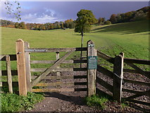
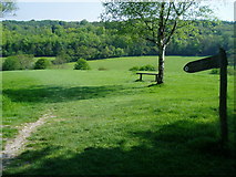
10 images in cluster Footpath in TQ1451
Image clustering - assigning images labels - is an automated process, based on the image title/description. It's not totally accurate, and can sometimes assign images to odd clusters
Explore these images in the Browser or Explore matching images including in surrounding squares (if any!)
Other Automatic clusters in TQ1451
- Wood
- Tanner's Hatch Youth Hostel
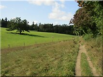
- Field
- Near Polesden Lacey
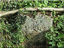
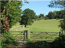
- Footpath
- Northern Edge of Bagden Wood
- Ranmore Common
- Dry Valley
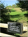
- Permissive Path
- Bridleway
- Dorking Wood
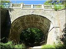
- Stone Bridge
- Removal of Ash
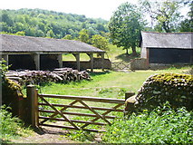
- Outbuildings at Bagden Farm
- North Downs
- Near Bagden Farm
- Ranmore Common Road
- Hillside
- Connicut Lane
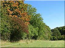
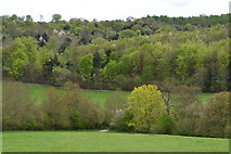
- Dense Woodland
- Way
- Grazing
- Old Dene
- Photo Posts
- Boundary