Showing most recent first, in descending order
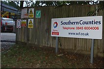
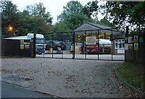
2 images in cluster Fuel Depot in TQ2525
Image clustering - assigning images labels - is an automated process, based on the image title/description. It's not totally accurate, and can sometimes assign images to odd clusters
in TQ2525, near Warninglid, taken Saturday, 8 October, 2005, by Pete Chapman
Explore these images in the Browser or Explore matching images including in surrounding squares (if any!)
All images  © Pete Chapman and licensed for reuse under this Creative Commons Licence
Other Automatic clusters in TQ2525
- Field According to Slaugham's 1842 Tithe Map
- Field According to Bolney's 1842 Tithe Map
- East of Colwood Lane
- Trees
- South of Warninglid
- Rout Farm Footpath
- Water Tower
- Colwood Court
- Barn
- North Gravelies Wood
- Little
- Street to Colwood Lane
- Acres
- Course
- Ponds
- Playdells Farm
- Fuel Depot
- Footpath Going
- Cross Keys Mead
- Colwood Hill
- Weald Clay