Showing most recent first, in descending order

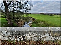
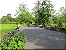
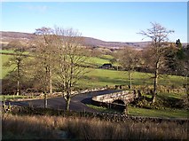
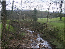
6 images in cluster Grizedale Bridge in SD5655

Image clustering - assigning images labels - is an automated process, based on the image title/description. It's not totally accurate, and can sometimes assign images to odd clusters

in SD5655, near Abbeystead


SD5655 : Old Boundary Marker by D Phillips
Old Boundary Marker
When: 19 October, 2020
By: D Phillips
SD5655 : Road at Grizedale Bridge by Peter Wood
Road at Grizedale Bridge
When: 6 June, 2014
By: Peter Wood
SD5655 : Grizedale Bridge at Lower Lee by Raymond Knapman
Grizedale Bridge at Lower Lee
When: 13 January, 2012
By: Raymond Knapman
SD5655 : Stile on path to Grizedale Bridge by Raymond Knapman
Stile on path to Grizedale Bridge
When: 13 January, 2012
By: Raymond Knapman
SD5655 : River Grizedale by Michael Graham
River Grizedale
When: 2 November, 2008
By: Michael Graham
SD5655 : Grizedale Bridge by Mr T
Grizedale Bridge
When: 19 July, 2007
By: Mr T

Explore these images in the Browser or Explore matching images including in surrounding squares (if any!)


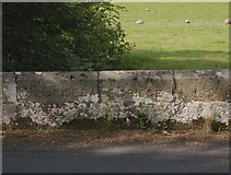
Other Automatic clusters in SD5655

  1. Grizedale Bridge
  2. Rakehouse Barn
  3. River Grizedale
  4. Higher Lee
  5. Footbridge
  6. Cut Mark
  7. Rakehouse Brow
  8. Long
  9. Road to Tarnbrook
  10. House
  11. Sheep
  12. Bridge at Lower Lee
  13. Near Abbeystead
  14. Milestone Society National ID
  15. Looking East towards the Trough of Bowland
  16. Lane
  17. Trough Road
You are not logged in login | register