Showing most recent first, in descending order

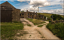
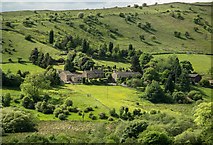
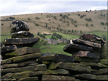
5 images in cluster Higher Harthill Farm in SK0189

Image clustering - assigning images labels - is an automated process, based on the image title/description. It's not totally accurate, and can sometimes assign images to odd clusters

in SK0189, near Rowarth


SK0189 : Higher Harthill Farm by Peter McDermott
Higher Harthill Farm
When: 3 June, 2017
By: Peter McDermott
SK0189 : Higher Harthill by Peter McDermott
Higher Harthill
When: 3 June, 2017
By: Peter McDermott
SK0189 : Higherfold and Lower Fold by Peter McDermott
Higherfold and Lower Fold
When: 3 June, 2017
By: Peter McDermott
SK0189 : Lower Harthill Farm and Higher Harthill Farm by Peter Barr
Lower Harthill Farm and Higher Harthill Farm
When: 10 August, 2009
By: Peter Barr
SK0189 : Higherfold Farm and Cown Edge by Dave Dunford
Higherfold Farm and Cown Edge
When: 25 September, 2005
By: Dave Dunford

Explore these images in the Browser or Explore matching images including in surrounding squares (if any!)


Other Automatic clusters in SK0189

  1. Farm
  2. Cown Edge
  3. Looking
  4. Building
  5. Higher Harthill Farm
  6. Lower Harthill Farm
  7. Higherfold Farm
  8. Footpath to Cown Edge
  9. Cottages
  10. Peak
  11. Drinkwater
  12. Northern Footpaths Society
  13. Post Office
  14. Sides
  15. Way
You are not logged in login | register