Showing most recent first, in descending order
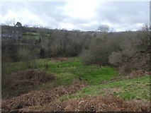
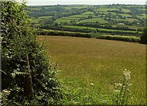
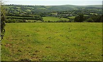
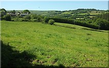
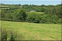
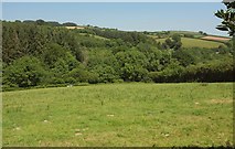
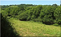
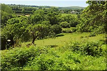
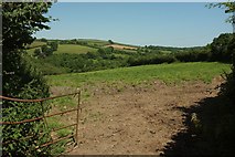
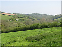
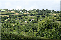
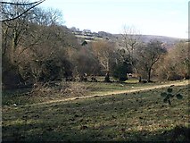
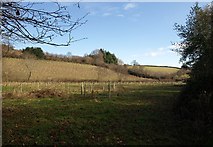
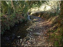
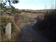
16 images in cluster Holy Brook Valley in SX7068
Image clustering - assigning images labels - is an automated process, based on the image title/description. It's not totally accurate, and can sometimes assign images to odd clusters
in SX7068, near Combe/SX7068

Explore these images in the Browser or Explore matching images including in surrounding squares (if any!)
Other Automatic clusters in SX7068
- Holy Brook Valley
- Holy Brook Bridge
- Scorriton and Holne
- Tradesman's Arms
- Cottage
- Village
- West Buckfastleigh
- Lane to Littlecombe
- Track
- Road
- Wood
- Dartmoor Way
- Holne Bridleway 15
- Junction
- Field
- Track from Holne to Langaford
- River Mardle
- Parish Boundary
- Commemorative Stone
- Path
- Farm Buildings
- Hawson Farm
- Telephone Box
- Looking Downstream
- Scorriton Sewage Treatment Works
- High Hedges
- Scoriton Methodist Church
- Cullaford
- Cross Furzes
- Near Buckfast