Showing most recent first, in descending order
5 images in cluster Junction Road in TQ3219
Image clustering - assigning images labels - is an automated process, based on the image title/description. It's not totally accurate, and can sometimes assign images to odd clusters
in TQ3219, near Burgess Hill
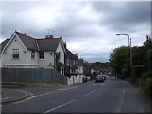
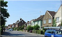
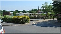
When: 10 July, 2005
By: Pete Chapman
Explore these images in the Browser or Explore matching images including in surrounding squares (if any!)
Other Automatic clusters in TQ3219
- St Andrew
- Manor Road
- Looking
- Housing
- Field According to the 1843 Tithe Map
- Inside St Andrew
- Bridleway
- Junction Road
- Memorial
- Path Junction
- Ditchling Common
- Eastern Edge of Burgess Hill
- Town of Burgess Hill
- Seen
- Ote Hall Farm
- O'clock Lane
- Kings Way
- Field Bounded
- Boundary