Showing most recent first, in descending order
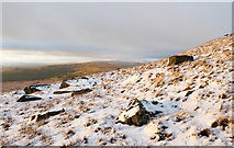
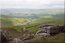
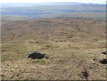
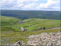
4 images in cluster Kettlewell in SD9973
Image clustering - assigning images labels - is an automated process, based on the image title/description. It's not totally accurate, and can sometimes assign images to odd clusters
in SD9973, near Kettlewell
Explore these images in the Browser or Explore matching images including in surrounding squares (if any!)
Other Automatic clusters in SD9973
- Hag Dyke
- Summit of Great Whernside
- Path up Great Whernside
- Kettlewell
- Path to the Summit
- Hill
- Footpath
- Boggy
- Hag Dike
- Descending
- Climb
- Buckden Pike
- Providence Pot
- Scout
- Slope of Great Whernside