Showing most recent first, in descending order
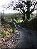
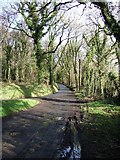
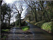
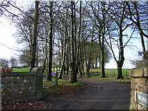
5 images in cluster Lane in SX5187
Image clustering - assigning images labels - is an automated process, based on the image title/description. It's not totally accurate, and can sometimes assign images to odd clusters
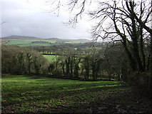
in SX5187, near Lake/SX5288, taken Saturday, 20 January, 2007, by Derek Harper
Explore these images in the Browser or Explore matching images including in surrounding squares (if any!)
All images  © Derek Harper and licensed for reuse under this Creative Commons Licence
Other Automatic clusters in SX5187
- Lane
- Bridestowe Bridleway 12
- Farm Road to Beara
- Track
- Tor
- Part of the Two Castles Trail
- Leads to Beara and Higher Fernworthy Farm
- Barn
- Junction
- Heading South
- West