Showing most recent first, in descending order
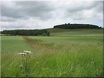
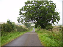
2 images in cluster Lane Leading in NU0130
Image clustering - assigning images labels - is an automated process, based on the image title/description. It's not totally accurate, and can sometimes assign images to odd clusters
in NU0130, near East Horton
Explore these images in the Browser or Explore matching images including in surrounding squares (if any!)
Other Automatic clusters in NU0130
- Gled Law
- Broomy Knowe
- Prehistoric Rock Art
- Field
- Arable Land
- Weetwood Hall
- West Horton
- Farmland
- Cup and Ring Marked Rocks
- Looking across Arable
- Minor Road
- Pillbox between West Plantation and Buttony
- Doddington Moor
- Roe Deer
- Lane Leading