Showing most recent first, in descending order
20 images in cluster Lifting Bridge in TQ3580
Image clustering - assigning images labels - is an automated process, based on the image title/description. It's not totally accurate, and can sometimes assign images to odd clusters
in TQ3580, near Stepney/TQ3481
Explore these images in the Browser or Explore matching images including in surrounding squares (if any!)
Other Automatic clusters in TQ3580
- Shadwell Basin
- River Thames
- London E1
- Highway
- Cable Street
- Prospect of Whitby
- Thames Path
- St Paul's Church
- River from Rotherhithe
- Shadwell Station
- Canary Wharf
- East
- Near
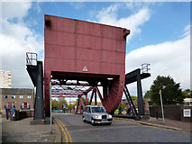
- Bascule Bridge
- King Edward Memorial Park
- Surrey Water
- Basin Entrance
- Street E1
- Wapping Wall
- St Mary
- Metropolitan Wharf
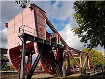
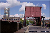
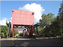
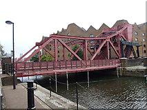
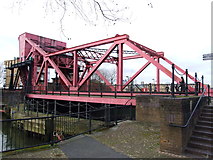
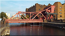
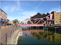
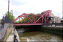
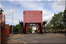
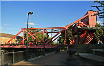
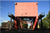
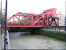
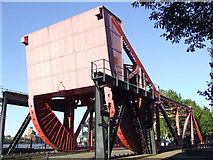
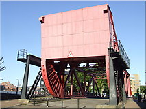
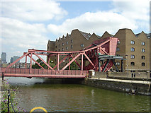
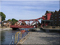
- Lifting Bridge
- Converted Warehouse
- Old Salt Quay
- Trade Wharf
- New Crane
- Ventilation Shaft
- Thames Beach
- Glamis Road
- Housing Built
- Hydraulic Power
- Building on the Right
- Cable Street London E1
- Globe Wharf
- Looking North-northwest
- Shadwell Gardens
- Public House
- Shadwell New Basin
- Tunnel was Built
- Pub Stood
- Looking West
- Company Station
- Near Rotherhithe
- Old Salt Quay Pub
- Riverside Development
- Church Spire
- Building on the Left
- Underground Station
- Low Tide by Descending Pelican Stairs Alongside
- View of the Gherkin
- Navigable River and was Built between 1825
- Wapping Beach
- Surrey Lock
- Docks Complex
- Head Pub
- Tower Hamlets
- View of the Pier
- Court in Rotherhithe
- Church on Cable Street
- Pedestrian Access via a Spiral Staircase
- Junction with Cable Street
- Riverside Apartments
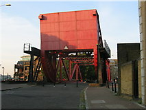
- Rolling Bascule Bridge
- Shadwell Gardens Flats
- Barge on the River
- Canary Wharf Development
- View is from Wapping Station Looking
- Path Leads
- North Bank of the Thames at Wapping
- East India Company
- Country into the Prospect of Whitby
- History can be Seen
- High on Wall
- Near the Junction
- View of Apartments on the Highway
- Old Jetty
- Entrance Lock is now Dammed