Showing most recent first, in descending order

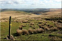
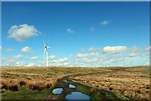
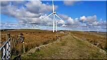
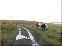
6 images in cluster Limers Gate in SD8922

Image clustering - assigning images labels - is an automated process, based on the image title/description. It's not totally accurate, and can sometimes assign images to odd clusters

in SD8922, near Higher Hogshead


SD8922 : Public Footpath descending Counting Hill towards Gorpley by Chris Heaton
Public Footpath descending Counting Hill towards Gorpley
When: 11 April, 2023
By: Chris Heaton
SD8922 : On Limers Gate by Chris Heaton
On Limers Gate
When: 11 April, 2023
By: Chris Heaton
SD8922 : Reaps Moss Wind Farm access road by Kevin Waterhouse
Reaps Moss Wind Farm access road
When: 23 September, 2022
By: Kevin Waterhouse
SD8922 : Horses grazing on Limers Gate by John Slater
Horses grazing on Limers Gate
When: 19 January, 2012
By: John Slater
SD8922 : Footpath to Gorpley Reservoir by Dave Dunford
Footpath to Gorpley Reservoir
When: 11 September, 2011
By: Dave Dunford
SD8922 : Signpost on Reaps Moss by michael ely
Signpost on Reaps Moss
When: 27 November, 2005
By: michael ely

Explore these images in the Browser or Explore matching images including in surrounding squares (if any!)


Other Automatic clusters in SD8922

  1. Limers Gate
  2. Boundary Marker
  3. Rossendale Way
  4. Footpath
  5. Gorpley Reservoir
  6. Hogshead Law Hill
  7. Moorland Pond
  8. Stone
You are not logged in login | register