Showing most recent first, in descending order

12 images in cluster Lockleaze in ST6076

Image clustering - assigning images labels - is an automated process, based on the image title/description. It's not totally accurate, and can sometimes assign images to odd clusters

in ST6076, near Bristol


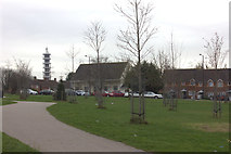
ST6076 : Gainsborough Square, Lockleaze. Looking southwards. by Robert Eva
Gainsborough Square, Lockleaze. Looking southwards.
When: 10 January, 2019
By: Robert Eva
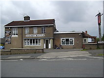
ST6076 : The Golden Bottle, Lockleaze by Eirian Evans
The Golden Bottle, Lockleaze
When: 20 April, 2017
By: Eirian Evans
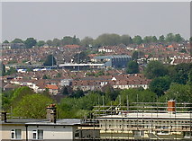
ST6076 : Too warm to be on the roof by Neil Owen
Too warm to be on the roof
When: 13 May, 2016
By: Neil Owen
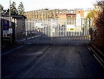
ST6076 : Entrance to Kellaway's Lockleaze branch, Bristol by Jaggery
Entrance to Kellaway's Lockleaze branch, Bristol
When: 29 December, 2013
By: Jaggery
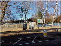
ST6076 : Entrance to Stoke Park Primary School and Nursery, Bristol by Jaggery
Entrance to Stoke Park Primary School and Nursery, Bristol
When: 29 December, 2013
By: Jaggery
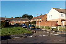
ST6076 : Stanfield Close, Lockleaze, Bristol by Jaggery
Stanfield Close, Lockleaze, Bristol
When: 29 December, 2013
By: Jaggery
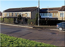
ST6076 : Edward Bird House, Lockleaze, Bristol by Jaggery
Edward Bird House, Lockleaze, Bristol
When: 29 December, 2013
By: Jaggery
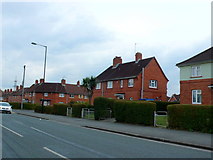
ST6076 : Houses on Lockleaze Rd by Nigel Mykura
Houses on Lockleaze Rd
When: 23 February, 2013
By: Nigel Mykura
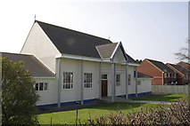
ST6076 : St Mary Magdalene with St Francis Lockleaze by Roger Templeman
St Mary Magdalene with St Francis Lockleaze
When: 24 March, 2012
By: Roger Templeman
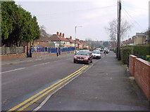
ST6076 : 2011 : Romney Avenue, Bristol by Maurice Pullin
2011 : Romney Avenue, Bristol
When: 17 April, 2011
By: Maurice Pullin
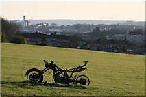
ST6076 : Lockleaze Open Space by martin
Lockleaze Open Space
When: 21 March, 2007
By: martin
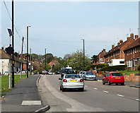
ST6076 : Lockleaze Road by Linda Bailey
Lockleaze Road
When: 5 January, 2006
By: Linda Bailey

Explore these images in the Browser or Explore matching images including in surrounding squares (if any!)


Other Automatic clusters in ST6076

  1. Lockleaze
  2. Sir John's Lane
  3. Ordnance Survey Cut Mark Benchmark Described
  4. Left Hand
  5. Wall
  6. Dovercourt Road
  7. Constable Road
  8. B&Q
  9. Stoke Park
  10. Viewed across Romney Avenue
  11. Brangwyn Grove
  12. Petherbridge Way
  13. House Near
  14. Stoke Park Primary School
  15. Railway Bridge
  16. Morris Road
  17. Church
  18. Open Space
  19. Marks a Point
  20. Close is a 70 Metre Long Cul-de-sac
  21. Lindsay Rd
  22. Gainsborough Square
  23. Filton
  24. Elmore Road
You are not logged in login | register