Showing most recent first, in descending order
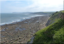
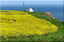
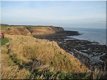
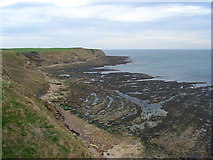
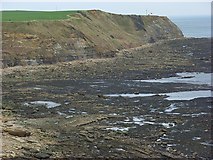
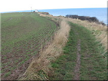
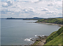
7 images in cluster Long Nab in TA0293
Image clustering - assigning images labels - is an automated process, based on the image title/description. It's not totally accurate, and can sometimes assign images to odd clusters
Explore these images in the Browser or Explore matching images including in surrounding squares (if any!)
Other Automatic clusters in TA0293
- Flat Scar
- North
- Burniston
- Shore at Crook Ness
- Cliff Top House
- South of Long Nab
- Cromer Point
- Shoreline
- Flat Scar Rocks
- Path
- Field Lane
- Coastline
- Coastguard Lookout
- Coast
- Cleveland Way Footpath
- Burniston Steps
- Tractor