Showing most recent first, in descending order
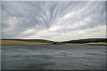
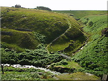
2 images in cluster Looking West in SD9431
Image clustering - assigning images labels - is an automated process, based on the image title/description. It's not totally accurate, and can sometimes assign images to odd clusters
in SD9431, near Rodmer Clough, by Phil Champion
When: 26 May, 2008
When: 28 August, 2005
Explore these images in the Browser or Explore matching images including in surrounding squares (if any!)
All images  © Phil Champion and licensed for reuse under this Creative Commons Licence
Other Automatic clusters in SD9431
- Landcover: Bog
- Pennine Way
- Landcover: Heather grassland
- Dam of Gorple Lower Reservoir
- Pennine Bridleway
- Landcover: Acid grassland
- Graining Water Reaps Water
- Landcover: Freshwater
- Widdop
- Lower Reservoir Spillway
- Near Gorple Cottages
- Gate
- Pennine Way Near
- Pack Horse
- Hebden
- Outlet
- National Trail
- National Cycle Route 68
- Cuts
- Footpath
- Descends
- Southeast
- Run-off from Nearby Widdop Reservoir
- East
- Heptonstall Moor
- Old Packhorse Route
- Looking West