Showing most recent first, in descending order
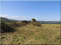
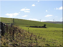
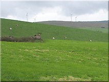
3 images in cluster Marked on the Map as a Sheepfold in NS2901
Image clustering - assigning images labels - is an automated process, based on the image title/description. It's not totally accurate, and can sometimes assign images to odd clusters
Explore these images in the Browser or Explore matching images including in surrounding squares (if any!)
Other Automatic clusters in NS2901
- Falfarrocher Glen
- Barony Hill Trail Near Whitehill
- Farmland at Whitehill
- Ailsa Craig
- Heading for Glengee Wood
- Looking
- Seating
- Poundland Wood
- Point
- Near Groat Knowe
- Moorland Near
- Cross Bases at Machrikil
- Mid Right
- View towards Hadyard Hill
- Old Ruin
- Path
- Direction of Glengee Wood
- St Machar who Named it Machri Kil
- Follows Falfarrocher Glen for a Short Distance
- Glengee Wood at Glourie
- Moorland Near Groat Knowe
- Windfarm on Delamford Hill