Showing most recent first, in descending order
8 images in cluster Near in SD9730
Image clustering - assigning images labels - is an automated process, based on the image title/description. It's not totally accurate, and can sometimes assign images to odd clusters
in SD9730, near Shackleton
Explore these images in the Browser or Explore matching images including in surrounding squares (if any!)
Other Automatic clusters in SD9730
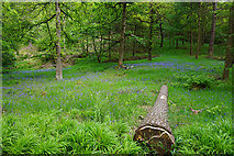
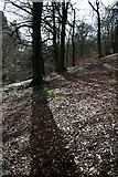
- Landcover: Broadleaf woodland
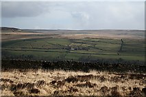
- Landcover: Improved grassland
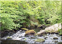
- Weir on Hebden Water
- Hebden Dale
- Footbridge across Hebden Water
- Gibson Mill
- Lady Royd Farm
- Trees
- National Trust
- Near
- Wadsworth
- Woodland
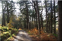
- Path
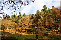
- Wooded Valley
- Rock
- Outcrop
- Bridge
- Cow Hey Lane
- Walshaw Wood
- Green Route
- Upstream
- High Greenwood Wood
- Flooding in Hebden Bridge
- Willow
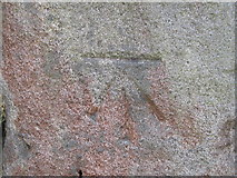
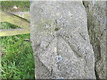
- Cut Mark
- Year