Showing most recent first, in descending order
8 images in cluster Near Cothill in SU4699
Image clustering - assigning images labels - is an automated process, based on the image title/description. It's not totally accurate, and can sometimes assign images to odd clusters
in SU4699, near Cothill/SU4699
Explore these images in the Browser or Explore matching images including in surrounding squares (if any!)
Other Automatic clusters in SU4699
- Nature Reserve
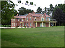
- House
- Near Cothill
- Cothill Road
- Dry Sandford Pit was a former Sand
- Dry Sandford Pits is a Fascinating Mosaic
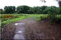
- Footpath
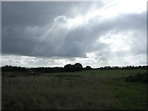
- Field
- Building
- Cothill School
- Contains many Varied Habitats from Rock Face
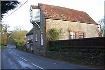
- Merry Miller
- Mill House
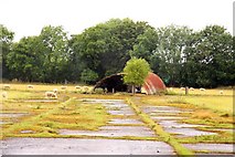
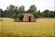
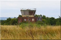
- RAF Abingdon
- Junction with the Stone Wall
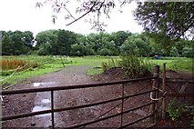
- Gate
- Enter
- Old Control Tower
- Ordnance Survey Cut Mark Benchmark Described
- Honeybottom Lane