Showing most recent first, in descending order
4 images in cluster North in SH2380
Image clustering - assigning images labels - is an automated process, based on the image title/description. It's not totally accurate, and can sometimes assign images to odd clusters
in SH2380, near Holyhead/Caergybi
Explore these images in the Browser or Explore matching images including in surrounding squares (if any!)
Other Automatic clusters in SH2380
- Porth Dafarch Beach
- Road Junction
- Porth Dafarch South
- Holy Island
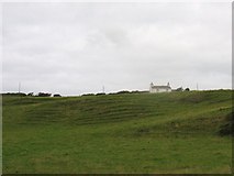
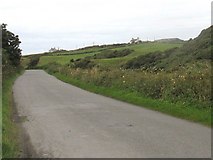
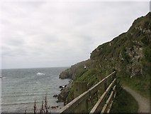
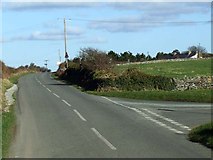
- North
- Alongside
- Rock
- Holyhead
- Field
- Anglesey Coastal Path
- Head
- Anglesey Outdoors Centre
- Promenade at Porth Dafarch
- Porth Dafarch South Farm
- Caravans
- Cattle Grazing
- Cytiau'r Gwyddelod
- Lane
- Sheltered Beach which Offers a Safe Anchorage