Showing most recent first, in descending order
8 images in cluster North East in TQ5307
Image clustering - assigning images labels - is an automated process, based on the image title/description. It's not totally accurate, and can sometimes assign images to odd clusters
in TQ5307, near Arlington/TQ5407
Explore these images in the Browser or Explore matching images including in surrounding squares (if any!)
Other Automatic clusters in TQ5307
- Looking
- Polhill's Farm
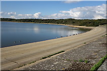
- Dam Wall
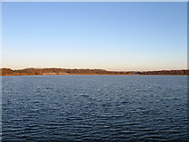
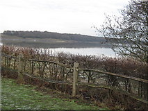
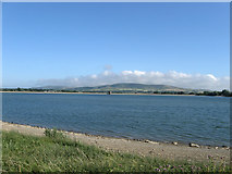
- Near Arlington Reservoir
- Cuckmere River
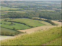
- Field
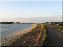
- North East
- Church
- Bridleway
- Valve Tower
- Northern
- Arlington Reservoir at Dusk
- Taken from the Dam
- Arlington Reservoir Sluice Tower
- Cows by Arlington Reservoir
- Draw off Tower
- West
- Footpath Junction
- Seen in the Distance
- Pumping Station
- Track
- Field According to Arlington's 1843 Tithe Map
- Weald
- Entrance on Station Road Near Berwick Station
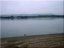
- Low Water Level
- Wall and Path
- Small
- Circular Path Follows much of the Edge
- Outlet
- Entrance to Lakeside Farm
- Flint Barn
- Firle Beacon
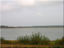
- Woodland