Showing most recent first, in descending order
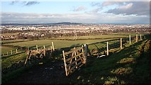
5 images in cluster North side of Warklaw Hill in NT1967
Image clustering - assigning images labels - is an automated process, based on the image title/description. It's not totally accurate, and can sometimes assign images to odd clusters
Explore these images in the Browser or Explore matching images including in surrounding squares (if any!)
Other Automatic clusters in NT1967
- Easter Kinleith Farm
- Torphin Quarry
- Mast
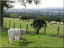
- North side of Warklaw Hill
- Blinkbonny Public Park
- Hill in the Distance
- Field
- Housing
- Golf Course
- Kinleith Mill
- Marchbank Water Treatment Works Near Balerno
- Water of Leith
- Summit
- Path
- Road
- Currie Edinburgh
- White
- Farm Track Near Easter Kinleith
- Big Quarry with Geological
- Arthur's Seat
- Kinleith Burn
- Grazing Land
- Footpath
- Track
- Displays a Series of Devonian Lava Flows
- Young Woodland