Showing most recent first, in descending order
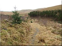
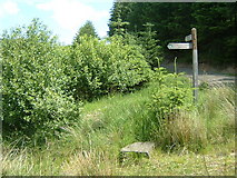
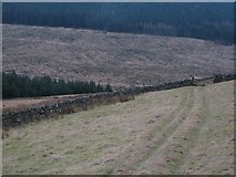
3 images in cluster Path in NT1946
Image clustering - assigning images labels - is an automated process, based on the image title/description. It's not totally accurate, and can sometimes assign images to odd clusters
in NT1946, near Harehope/NT2044
Explore these images in the Browser or Explore matching images including in surrounding squares (if any!)
Other Automatic clusters in NT1946
- Fingland
- West Linton
- Courhope Burn
- Flemington Burn
- Track
- Clear Felled
- Cross Borders Drove Road
- Path from the Flemington Burn
- South
- Crailzie Hill
- Valley
- Old Drove Road