Showing most recent first, in descending order
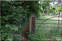
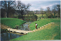
3 images in cluster Path in TQ1652
Image clustering - assigning images labels - is an automated process, based on the image title/description. It's not totally accurate, and can sometimes assign images to odd clusters

Explore these images in the Browser or Explore matching images including in surrounding squares (if any!)
Other Automatic clusters in TQ1652
- A24
- Footbridge
- Mole Gap Trail
- Railway Bridge
- Mickleham to the A24
- North
- Box Hill
- Norbury Park House
- Leatherhead
- Old Course of the River Mole
- Path
- Looking towards Norbury Park
- Ash Trees
- Line
- Part of the Mole Gap Trail
- Crabtree Lane