Showing most recent first, in descending order
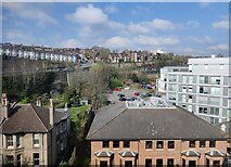
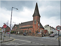
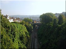
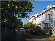
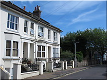
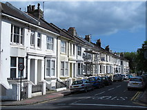
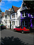
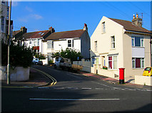
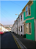
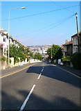
30 images in cluster Prestonville in TQ3005
Image clustering - assigning images labels - is an automated process, based on the image title/description. It's not totally accurate, and can sometimes assign images to odd clusters
in TQ3005, near Brighton/TQ3106
Explore these images in the Browser or Explore matching images including in surrounding squares (if any!)
Other Automatic clusters in TQ3005
- Dyke Road
- Preston Park
- Brighton Station
- BN1
- Old Shoreham Road
- Road and Developed
- Seven Dials
- New England
- Dyke Road Park
- Prestonville
- Buckingham Place
- Viaduct
- North
- Howard Place
- Street were Developed
- Port Hall
- Rose Garden
- Chatham Place
- Rotunda Cafe
- Terminus Place
- Taken from the Junction
- BHASVIC College
- West Hill
- Preston Rd
- Locomotive Works
- View was Taken
- Block of Flats
- Vernon Terrace
- Tennis Courts
- Lovers Walk
- Path in Dyke Road Park
- Building to the Right
- Boundary with Hove
- Park Near
- Coastway Line
- York Villas
- Goods Yard
- Train Shed
- Public House
- Montpelier Crescent
- Preston Circus
- Northern Junction
- Shakespeare's Head
- Maintenance Depot
- Part of the A2010
- Fuller History can be Seen
- Original Bridge
- Compton Avenue
- London Victoria
- Opened in 1841
- Southern Entrance
- St Luke's Church
- Davigdor Rd
- Looking across the Playing
- Linking Stanford
- Part of the Prestonville Estate
- London-Brighton Railway
- Boundary Marker by the A270
- Association with the City Having Taught
- Constructed in the Late
- 750V Dc South to make through Services
- Station Concourse
- Osmond Rd
- Part of the A23 one Way System
- Rotunda Café