Showing most recent first, in descending order
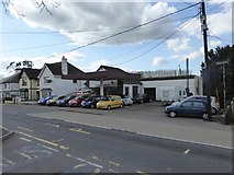
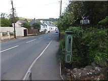
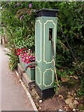
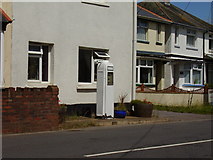
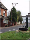
5 images in cluster Pump in SY0889
Image clustering - assigning images labels - is an automated process, based on the image title/description. It's not totally accurate, and can sometimes assign images to odd clusters
in SY0889, near Newton Poppleford
Explore these images in the Browser or Explore matching images including in surrounding squares (if any!)
Other Automatic clusters in SY0889
- Church
- Village
- A3052
- Lane in Newton Poppleford
- Houses
- High Street
- Brook
- Small
- Station Road
- St Luke's Church
- Seen
- East Devon
- Pump
- Near
- Footpath Heading
- Cannon
- Facilities
- Bus Stop
- Recreation Ground
- Car Park
- Thatched Cottages
- Village Hall
- Southern Edge of Newton Poppleford
- School Lane
- Mark
- Forecourt
- Churchyard
- Wheat