Showing most recent first, in descending order

6 images in cluster Road in SD4354

Image clustering - assigning images labels - is an automated process, based on the image title/description. It's not totally accurate, and can sometimes assign images to odd clusters

in SD4354, near Bank Houses


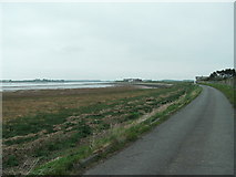
SD4354 : The River Lune near Crook Farm by Raymond Knapman
The River Lune near Crook Farm
When: 20 May, 2013
By: Raymond Knapman
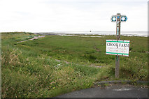
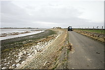
SD4354 : Lancashire Coastal Path near Crook Farm by Dave Dunford
Lancashire Coastal Path near Crook Farm
When: 3 August, 2012
By: Dave Dunford
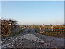
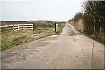
SD4354 : Road to Clarkson's Farm by Alexander P Kapp
Road to Clarkson's Farm
When: 17 February, 2010
By: Alexander P Kapp
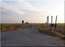
SD4354 : Road to Bank House Farm by Alexander P Kapp
Road to Bank House Farm
When: 17 February, 2010
By: Alexander P Kapp
SD4354 : New Farm Road by Bob Jenkins
New Farm Road
When: 2 March, 2009
By: Bob Jenkins
SD4354 : Sea Defence Near Crook Farm by Bob Jenkins
Sea Defence Near Crook Farm
When: 2 March, 2009
By: Bob Jenkins

Explore these images in the Browser or Explore matching images including in surrounding squares (if any!)


Other Automatic clusters in SD4354

  1. Crook Farm
  2. Near Crook Farm
  3. Road
  4. Lancashire Coastal Way
  5. Lune Estuary
  6. Cockersand Abbey
  7. Mark
  8. Near Abbey Lighthouse Cottage
  9. Wall
  10. Lane
  11. Foreshore
  12. Cut
  13. Remains
  14. River Lune
  15. Boundary Stone
  16. Track to Clarkson's Farm
  17. Beach
You are not logged in login | register