Showing most recent first, in descending order

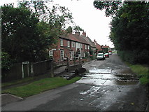
6 images in cluster Sandy Lane in SK6351

Image clustering - assigning images labels - is an automated process, based on the image title/description. It's not totally accurate, and can sometimes assign images to odd clusters

in SK6351, near Oxton/SK6351


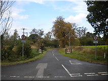
SK6351 : East end of Sandy Lane, Oxton by Richard Vince
East end of Sandy Lane, Oxton
When: 9 October, 2014
By: Richard Vince
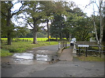
SK6351 : Ford and footbridge, Oxton by Richard Vince
Ford and footbridge, Oxton
When: 9 October, 2014
By: Richard Vince
SK6351 : Ordnance Survey Rivet Cut Mark by Peter Wood
Ordnance Survey Rivet Cut Mark
When: 17 October, 2012
By: Peter Wood
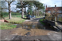
SK6351 : Oxton Ford by John Walton
Oxton Ford
When: 26 February, 2012
By: John Walton
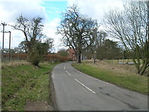
SK6351 : Sandy Lane, Oxton by JThomas
Sandy Lane, Oxton
When: 14 March, 2010
By: JThomas
SK6351 : The ford Sandy Lane, Oxton by Tom Courtney
The ford Sandy Lane, Oxton
When: 12 August, 2005
By: Tom Courtney

Explore these images in the Browser or Explore matching images including in surrounding squares (if any!)


Other Automatic clusters in SK6351

  1. St Peter St Paul's Church
  2. Blind Lane
  3. Windmill Hill
  4. Southwell Road
  5. Sandy Lane
  6. Oxton Ford
  7. Churchyard
  8. Parish Church
  9. Cottages
  10. Early 18th Century
  11. Window
  12. Water Lane
  13. Marked
  14. Nether Field
  15. Tree
  16. Garden House
  17. Route
  18. Pond
  19. Gateway
  20. Looking
  21. Left
  22. Interior
You are not logged in login | register