Showing most recent first, in descending order
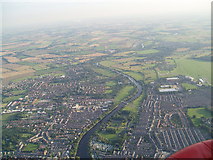
13 images in cluster South of York in SE6050
Image clustering - assigning images labels - is an automated process, based on the image title/description. It's not totally accurate, and can sometimes assign images to odd clusters
in SE6050, near York/SE5951
Explore these images in the Browser or Explore matching images including in surrounding squares (if any!)
Other Automatic clusters in SE6050
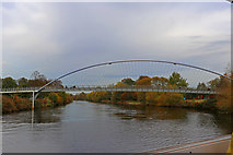
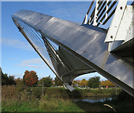
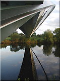
- Ouse from Millennium Bridge
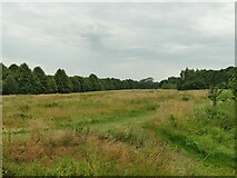
- Rowntree Park
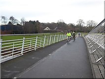
- Looking across the Bridge
- Fulford Road
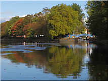
- Looking across the River Ouse
- Ouse at York
- River Bank
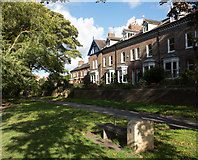
- New Walk
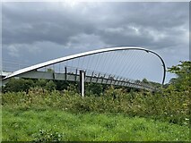
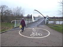
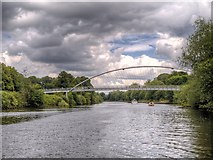
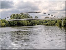
- Millennium Bridge York
- Bishopthorpe Road
- Foss Confluence
- Looking Upstream
- Blue Bridge
- South
- Hospital Fields Road
- New Walk Terrace
- Near
- Lake in Rowntree Park
- City of York
- Marked as Houses
- Park with the Cafe
- Fulford Cross
- Scarcroft Road
- Road Dating
- Late Victorian
- Department Boundary Stone
- Imphal Barracks
- Butcher Terrace
- City Centre
- Broken its Banks
- Terry Avenue
- Overlooking New Walk
- Hartoft Street
- Maple Grove
- Military Hospital
- Riverside Path
- Melbourne Street
- Southlands Road
- Grange Garth
- Built on Part
- Smith's Pub in York
- Fulford Arms
- Lake and Cafe
- Foss Joining
- East Bank
- Memorial Plaque
- Clementhorpe Flood Alleviation Scheme
- Offices are no Longer WD Property
- Standing Crosses
- Row of Shops on Fishergate
- Wider View
- Right of the Picture
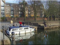
- Boat Moored
- Details about New Walk
- Lych Gate
- Inscribed above the main Entrance and Restored
- Finsbury Avenue
- Cycle Network
- Corner of the Plot at the Junction
- Seen in the Background
- Alma Grove
- Near the Junction
- Ordnance Depot that Existed behind the Wall
- Blue LED Lighting