Showing most recent first, in descending order
6 images in cluster Stoupe Bank Farm in NZ9503
Image clustering - assigning images labels - is an automated process, based on the image title/description. It's not totally accurate, and can sometimes assign images to odd clusters
in NZ9503, near Fylingthorpe
Explore these images in the Browser or Explore matching images including in surrounding squares (if any!)
Other Automatic clusters in NZ9503
- Robin Hood's Bay
- Stoupe Beck Sands
- Beach
- Footbridge over Stoupe Beck
- Stoupebrow Cottage Farm
- Mill Beck Farm
- Near Boggle Hole
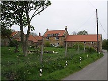
- Stoupe Bank Farm
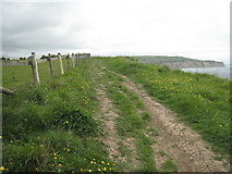
- Footpath
- High Scar
- South of Boggle Hole
- Low Tide
- Walk
- Cleveland Way Crosses
- Coastal Path
- South House Farm
- High Headland in the Distance
- North Yorkshire
- Mouth of Stoupe Beck
- Field
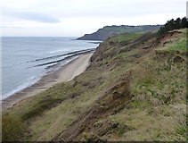
- Boulder Clay Cliffs
- Brow Moor
- Stoupe Beck Meets the North Sea
- Steps
- Cliff Edge
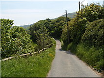
- Lane Past
- England Coast Path which at 2,795 Miles
- Coastal Erosion
- Cut Bench Mark
- School Field-study Group at High Scar