Showing most recent first, in descending order
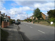
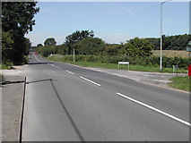
14 images in cluster Street in SK6049
Image clustering - assigning images labels - is an automated process, based on the image title/description. It's not totally accurate, and can sometimes assign images to odd clusters
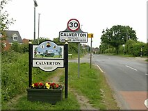
in SK6049, near Calverton/SK6149
Explore these images in the Browser or Explore matching images including in surrounding squares (if any!)
Other Automatic clusters in SK6049
- Street
- Collyer Road
- Ramsdale Park Golf Course
- Junction
- Ramsdale Park Golf Centre
- Development of Calverton as a Colliery Village
- Field
- Recycling Centre A.k.a
- Labray's Endowed School
- Section of Hollinwood Lane
- Lee Road
- Seely Avenue
- Public Footpath
- Alongside
- Jumelles Drive
- Garden
- Building
- West