Showing most recent first, in descending order
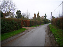
11 images in cluster Tanhouse Lane in TQ8822
Image clustering - assigning images labels - is an automated process, based on the image title/description. It's not totally accurate, and can sometimes assign images to odd clusters
in TQ8822, near Flackley Ash

Explore these images in the Browser or Explore matching images including in surrounding squares (if any!)
Other Automatic clusters in TQ8822
- Cock
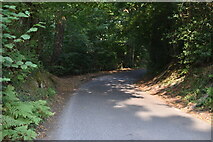
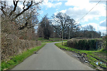
- Tanhouse Lane
- School Lane
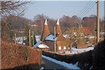
- Oast
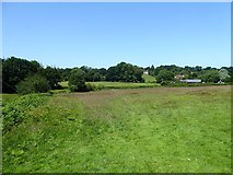
- South of Peasmarsh
- Cottage
- Field According to Peasmarsh's 1840 Tithe Map
- Footpath
- House
- Village
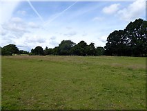
- Ploughed Field Near Peasmarsh
- Van's Gill
- Peasmarsh's 1840 Tithe Map that is Located
- Tanhouse Oast
- High Weald Landscape Trail
- Church
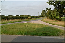
- A268
- Trees
- Way
- 19th Century
- Memorial Hall
- Jempsons
- Dew Lane
- Cock Wood
- Street Land
- Countryside South of Peasmarsh
- White